 LESSON
In this lesson, students explore the geography of the Southwest and take a diorama tour of the region.
Experience the LessonInquiry-based programs where students analyze primary sources, build evidence-based arguments, and take part in rich discussion, in print and digital.
See the Social Studies overviewSee how TCI engages all learners and provides comprehensive teach support to Bring Learning Alive! in K-12 classrooms.

Active learning, teacher-ready lessons, and a high-quality curriculum have always been at the heart of TCI. The new programs are sharper, more consistent, and built as a true K-12 system.
Bring Science Alive! is phenomena-driven and NGSS-aligned. Every unit opens on an anchoring phenomenon, then students investigate it the way scientists do.
See the Science overview
In this lesson from our Bring Science Alive! Weather and Climate program, students create their own wind, build a balloon barometer, and track atmospheric pressure.
Self-paced courses, live events, and opportunities to connect with or lead other educators — support that continues long after implementation week.

Join Brian Thomas and Loyal Frazier on October 20 at 6 pm ET for practical ways to help students evaluate sources and the growing volume of online and AI-generated information.
Research-backed guidance on the questions districts are actually asking — from HQIM adoption to AI in the classroom.

Michael Washington, a 22-year classroom veteran, sees differentiation as how a lesson itself, built through active learning strategies, can reach every student in the room at once.
Built by teachers, for teachers.
Bringing Learning Alive! since 1989.

Megan Forbes is in her 15th year of teaching, and the program bends to how she wants to teach that day. Some days, that's the textbook and interactive notebook. Other days it's a Video Activity.

One country, five very different regions. As students travel across the United States, they think like social scientists to uncover how land, people, and history shape each region.
The United States map is split into five regions. A region is an area that shares similar features. Each region is named after its location in the United States. Throughout this program, you'll study these regions to learn about their history, economics, civics, and geography.
New York City is sometimes described as the "city that never sleeps." Most people who live in urban areas like New York have non-agricultural jobs. However, the Northeast does have areas that are rural. Which do you think is more common? How does it compare to where you live?
The Southeast region of the United States has many rivers winding through the Appalachian mountains and along the coastal plains. But heavy rains sometimes cause flooding. In response to flooding, the Tennessee Valley Authority (TVA) was established in 1933. This group was responsible for damming rivers to control water flow and flooding. A byproduct of the dams was hydroelectric power and the creation of recreational areas. The geography of the Southeast plays an important role in how people live.
The Midwest is known as "America's Breadbasket" because midwestern farmers grow a lot of the wheat we use to make bread. Crops, such as wheat, and livestock, such as hogs and cattle, teem through the gentle hills and flat plains. Near these farms are urban centers like Chicago, Detroit, Fargo, and Des Moines. There are many benefits to living in the Midwest region as a result.
These petroglyphs, found on Mesa Verde in Colorado, were made by the Anasazi. They date between 600-1300 C.E. Archaeologists believe that the boxy spiral shape is probably a sipapu, the site where many southwestern Native Americans believe they emerged from the earth, near the Grand Canyon. History is a collection of stories. Sometimes stories are passed down from generation to generation. Sometimes history is marked by how the land changes. The Southwest is a region that has many stories to tell.
The Spirit of Boise Balloon Classic takes place in Boise, Idaho each fall. Attendees can get free balloon rides, live music, and a variety of food from local vendors. As many as 30-40 balloons take to the sky at different times during the festival, providing people a chance to look down on the area where they live. It's truly a birds-eye view of life. The American West is a vast region that stretches thousands of miles and includes many amazing geographic features, from tall mountains to endless salt flats. The cities can also sport many different features and characteristics too.
The internet, modern computers, and smartphones have made inquiry a lot easier these days. When your grandparents were in school, learning about state history meant reading thick textbooks, taking a trip to the library, or interviewing experts. Today, it can be as simple as typing in a search field in a browser. While powerful, it can also be dizzying. There is so much information available quickly, you have to consider: What sources can you trust? Where is the best place to get information? What can you do with the information once you find it?
LESSON
In this lesson, students explore the geography of the Southwest and take a diorama tour of the region.
Experience the LessonSee every unit and lesson at a glance — compelling questions, objectives, and how content builds across History, Geography, Civics, and Economics.
Get a quick, visual snapshot of the program — key features, components, and what makes learning come alive in the classroom.
See exactly how the program aligns to your state standards.
Request access to digital samples of the student and teacher materials.
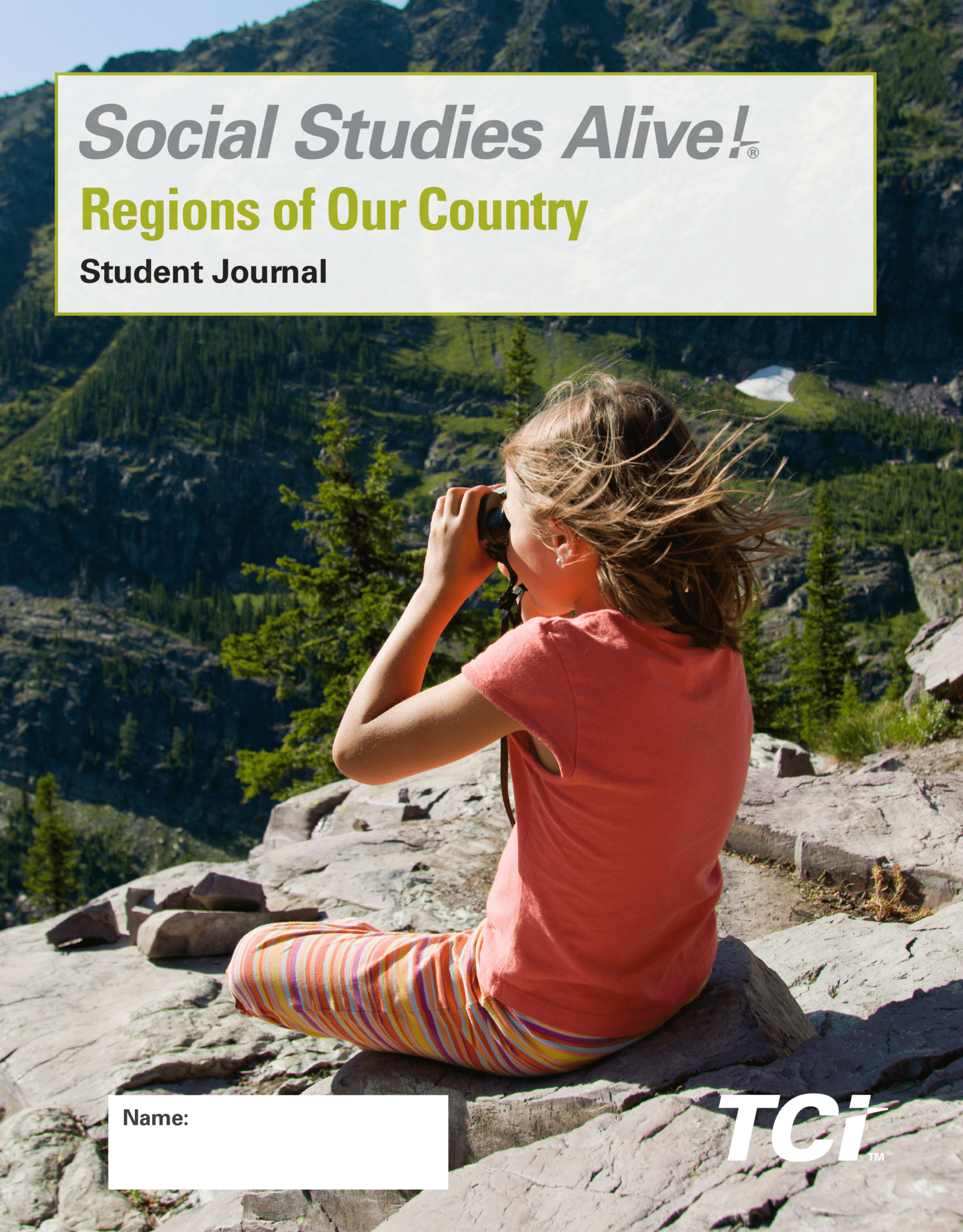
The colorful, easy-to-use, print consumable Student Journal combines standards-based content and rich activities to support student learning. Students will make personal connections that allow them to develop a deep understanding of key social studies content while building critical social studies and ELA skills. Also available in Spanish.
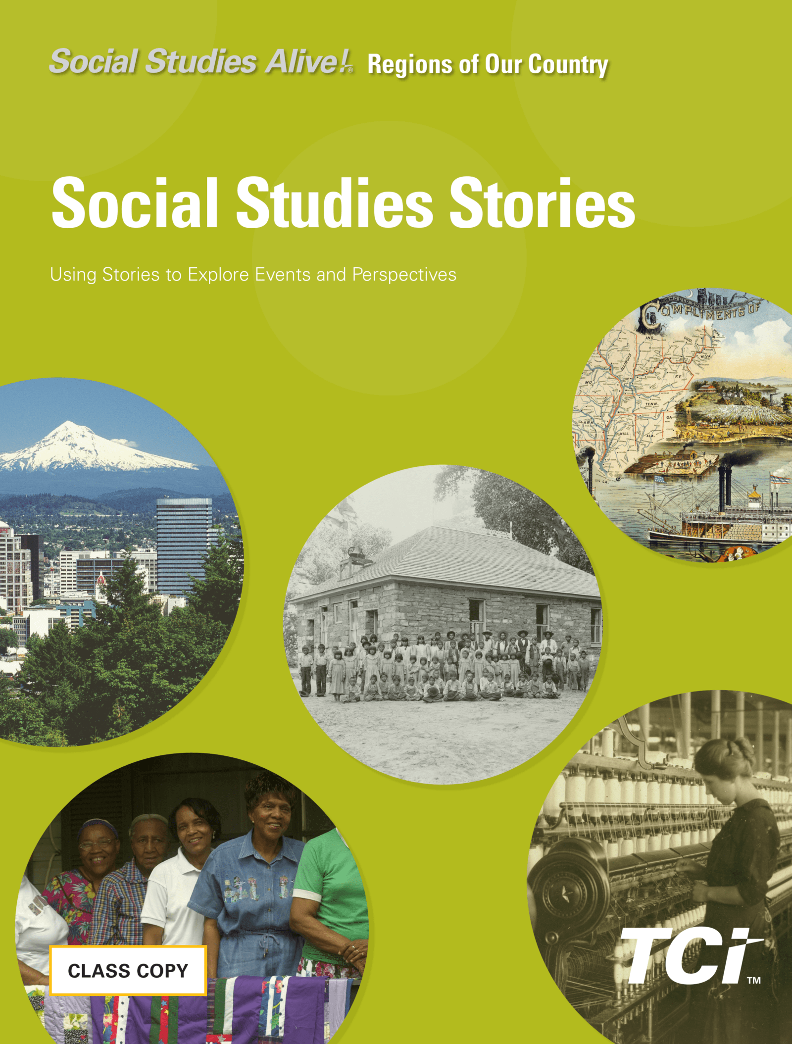
The Social Studies Stories collection contains short, high-interest readings from four different disciplines — Geography, History, Economics, and Civics — to further engage and deepen students' understanding of content. Also available in Spanish.
A class set of large, colorful, laminated maps that students can write on and use in hands-on ways during activities.
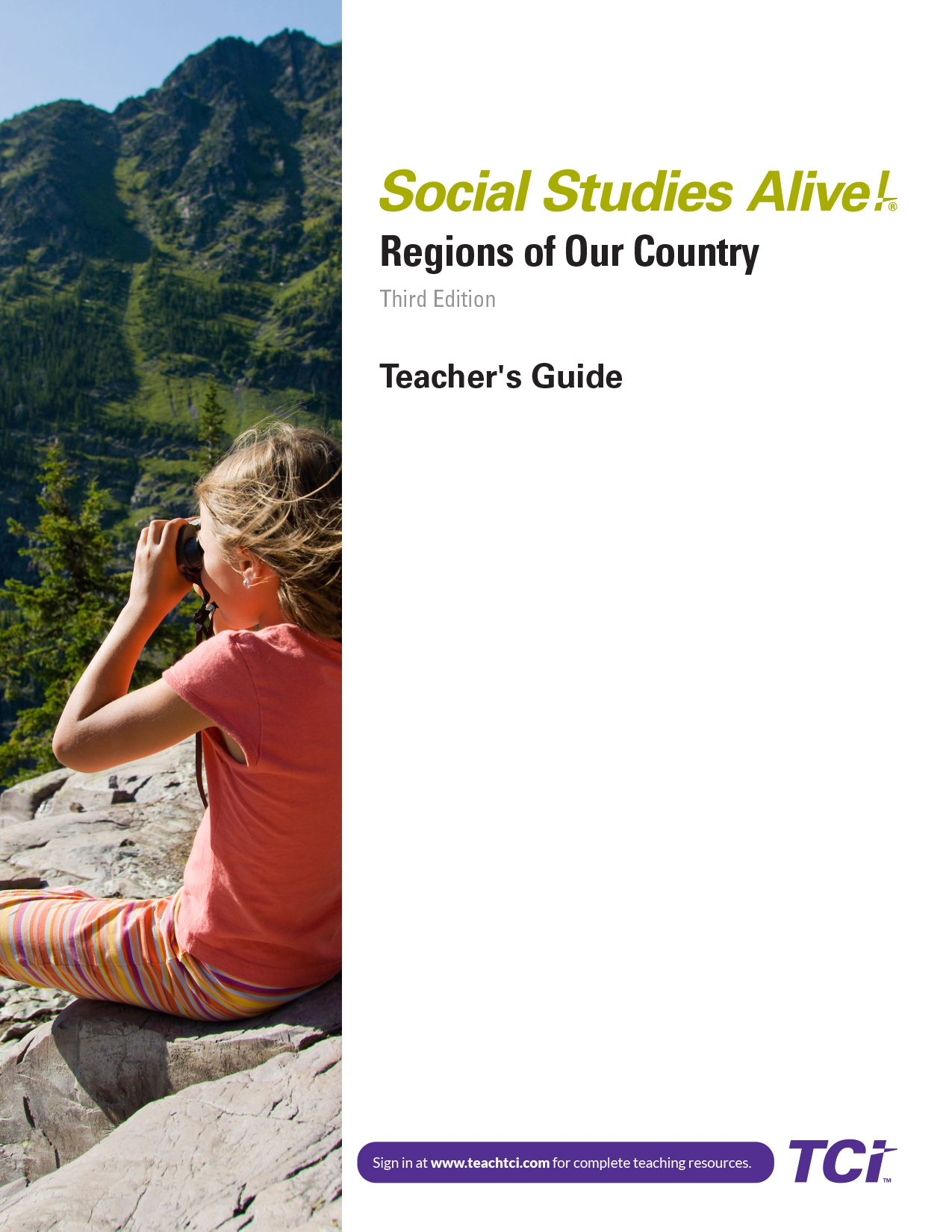
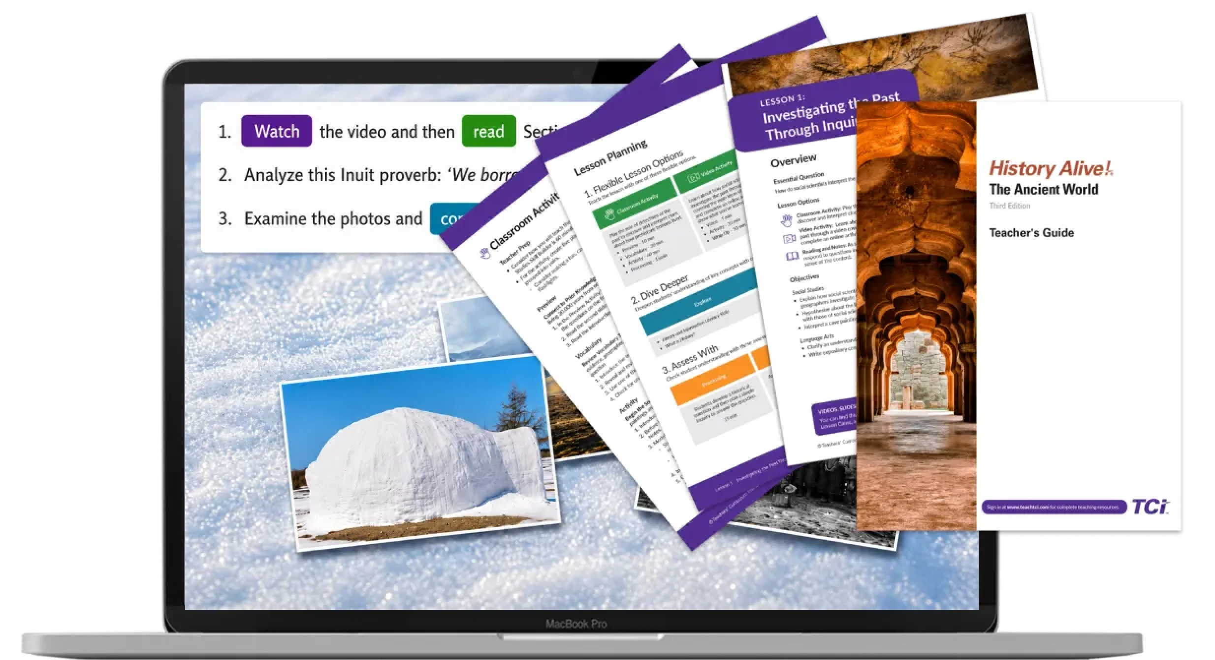
Teacher's Guide supports everything from lesson planning to grading — step-by-step procedures, time estimates, differentiation strategies, and answer keys, ready to use offline or as a quick reference while teaching. Also available in Spanish.
The Activity Cards are laminated, reusable cards that contain vibrant, interactive content for students. The cards include large maps, game boards, and manipulatives that can be cut out and be reused year after year. Also available in Spanish.
Vocabulary Wall Cards pair key terms with clear definitions on durable, laminated posters — ready to display on a word wall or use as manipulatives.
Whether you're exploring programs, preparing for an adoption, or ready to get a quote — our team is here to help.
Connect with a TCI Expert